01
Field data collection
Field-ready KoboToolbox questionnaires in several languages, with responses validated before analysis.
- XLSForm questionnaire design and translation
- Logic testing and review before collection
- Response validation and cleaning
NEXOVIBE / FIELD DATA · GIS · MONITORING
We help NGOs, agencies and research teams in Mozambique collect, verify and map field data, and turn it into indicators that managers and donors can use.
2 in-house QGIS plugins · XLSForm translator for Excel · Territorial analysis in Cabo Delgado
KoboToolbox QGIS Power BI
Questionnaires · Translation · Validation
Locations · Coverage · Vulnerability
Indicators · Dashboards · Reports
01 / OUR SERVICES
Hire one service or the full cycle. Each proposal defines the problem, deliverables and follow-up.
Field-ready KoboToolbox questionnaires in several languages, with responses validated before analysis.
Know where people, risks and interventions are, with verified locations and maps ready to share.
Up-to-date programme indicators and reports that managers and donors can read.
When the process calls for it, we automate the workflow and prepare the team to use it.
HOW TO START
Send us your XLSForm. Within 48 hours we return a list of logic, skip and translation errors.
Review my questionnaire ↗We treat the file as confidential. Do not send respondent data.
A tested KoboToolbox questionnaire, validated collection and a map or dashboard with the first indicators. Price and deliverables are agreed before we start.
If the questionnaire fails the agreed tests, we fix it at no extra cost.
Request the pilot ↗02 / OUR PROCESS
Identify the problem, users, available data and success criteria. Agree on deliverables, timelines and budget.
Validate the data, design the solution and build an initial version to review with you.
Test the solution with representative examples, review results with the team and document limitations and fixes.
Deliver the solution and documentation, prepare the team to use it and define the support or maintenance included in the proposal.
03 / WHAT YOU RECEIVE
A proposal specifying the problem, users, deliverables, timeline and acceptance criteria.
A questionnaire, validated dataset, map, dashboard or report, depending on the agreed service.
Checks performed, sources, known limitations and usage recommendations.
Documentation and team guidance, with agreed support and maintenance terms.
04 / ENGINEERING IN PRACTICE
Independent projects with documented context, approach and results. Explore case studies, code and each tool's limitations.
 Project identity
GIS & Territory
Published plugin · QGIS
Location verification in QGIS: compare sources, save evidence and document every decision in an auditable record.
View project and walkthrough ↗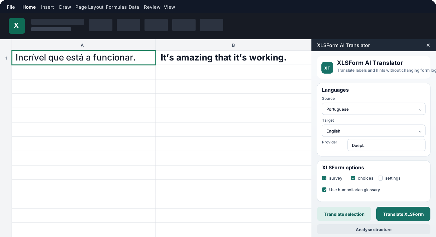 Repository illustration
Software & AI
Open-source project · In development
Create and translate KoboToolbox questionnaires inside Excel, with a preview and preservation of variables, formulas and logic.
View project and walkthrough ↗ Project identity
GIS & Territory
Published plugin · QGIS
Convert and merge GPX files into Shapefiles directly in QGIS. A workflow that turns GPS field data into layers ready for analysis.
View project and walkthrough ↗TRAINING & COMMUNITY
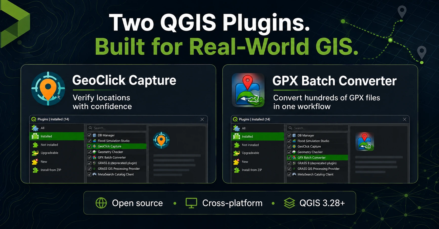
From preparing GPS files to verifying locations, we build tools and share the processes behind each solution.
05 / LET'S TALK
Tell us the deadline and what you need to deliver. We reply within 1 working day with next steps and an estimate.
Mozambique · Remote collaboration