 Project identity
GIS & Territory
SimGeo
Independent project · See the repository for current status
Flood, cyclone and drought scenarios linked to population, vulnerability and infrastructure data to support territorial decisions.
PORTFOLIO / PROJECTS & EXPLORATIONS
Projects and tools reflecting NexoVibe's approach to geospatial intelligence, data analysis and software. Explore the projects and code behind each solution.
Explore GitHub ↗8 projects · All areas
Project identityGIS & Territory
Independent project · See the repository for current status
Flood, cyclone and drought scenarios linked to population, vulnerability and infrastructure data to support territorial decisions.
 Project identity
GIS & Territory
Published plugin · QGIS
Location verification in QGIS: compare sources, save evidence and document every decision in an auditable record.
View project and walkthrough ↗ Repository illustration
Software & AI
Open-source project · In development
Create and translate KoboToolbox questionnaires inside Excel, with a preview and preservation of variables, formulas and logic.
View project and walkthrough ↗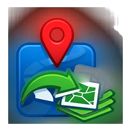 Project identity
GIS & Territory
Published plugin · QGIS
Convert and merge GPX files into Shapefiles directly in QGIS. A workflow that turns GPS field data into layers ready for analysis.
View project and walkthrough ↗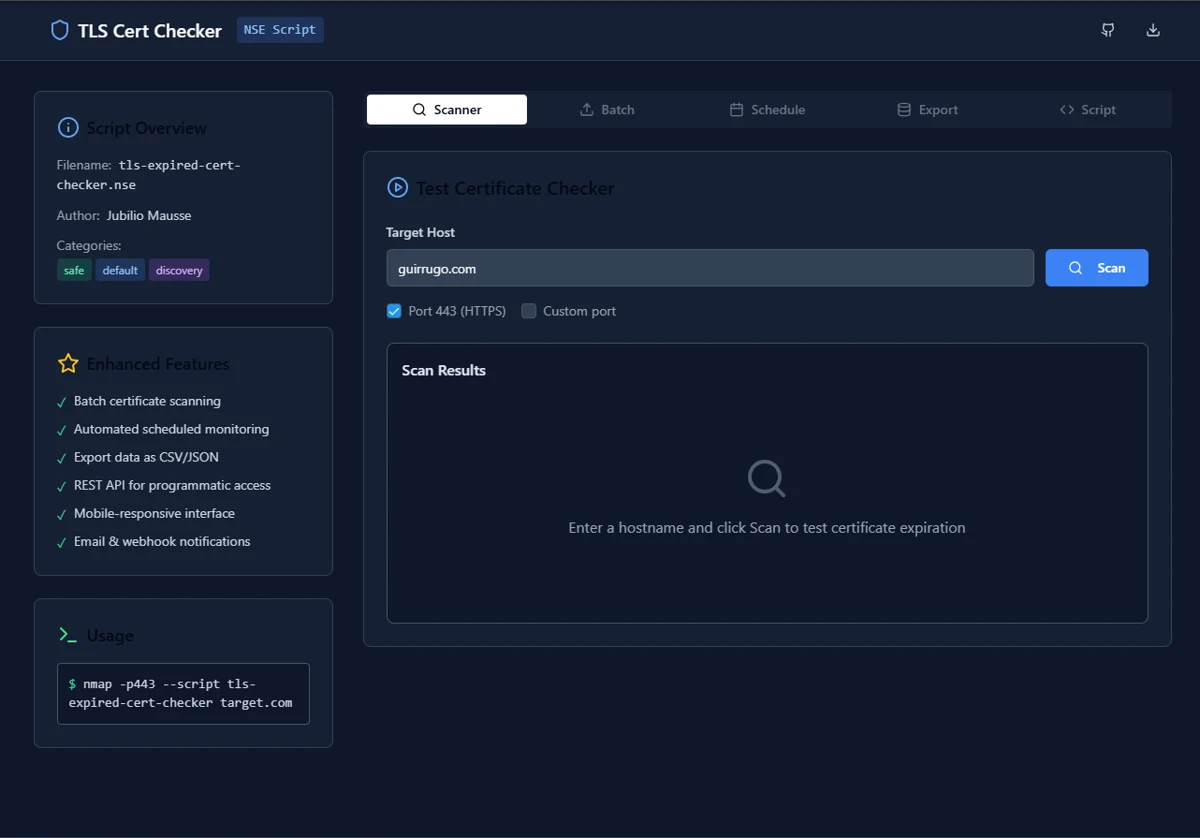 Repository demo
Software & AI
Independent project · See the repository for current status
Check TLS certificates individually or in batches, with validity details and CSV and JSON export.
 Repository artwork
Software & AI
Independent project · See the repository for current status
Household financial management with income, expense and savings tracking, data visualisation and an AI assistant.
 Conceptual illustration · AI
Data & Research
In development · Data integration pending
An R analysis project combining displacement, environmental and socioeconomic indicators into a territorial vulnerability index.
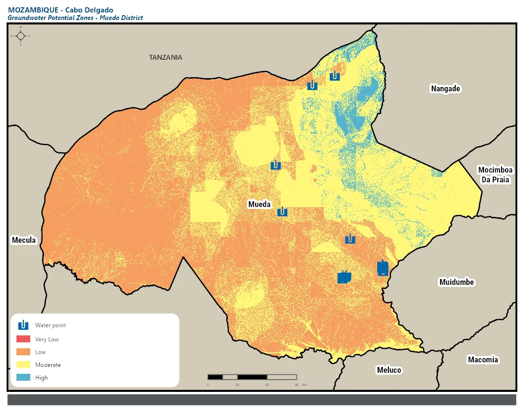 Published map · Mueda
Data & Research
Independent project · See the repository for current status
Articles, maps and tutorials on groundwater, remote sensing, humanitarian analysis and data collection with KoboToolbox.
FACING A SIMILAR CHALLENGE?